Advanced Geoscience Solutions for Complex Challenges

Specialized in geothermal surveys, groundwater exploration, mineral detection, and geological analysis with cutting-edge technology and data visualization.

About Shinka Geosciences

With over 20 years of experience in geoscience research and exploration, Shinka Geosciences has established itself as a leader in providing comprehensive geological survey solutions using cutting-edge technology and methodologies.

Our team of expert geologists, engineers, and researchers are dedicated to delivering accurate data and actionable insights that help our clients make informed decisions about resource exploration, development, and management.

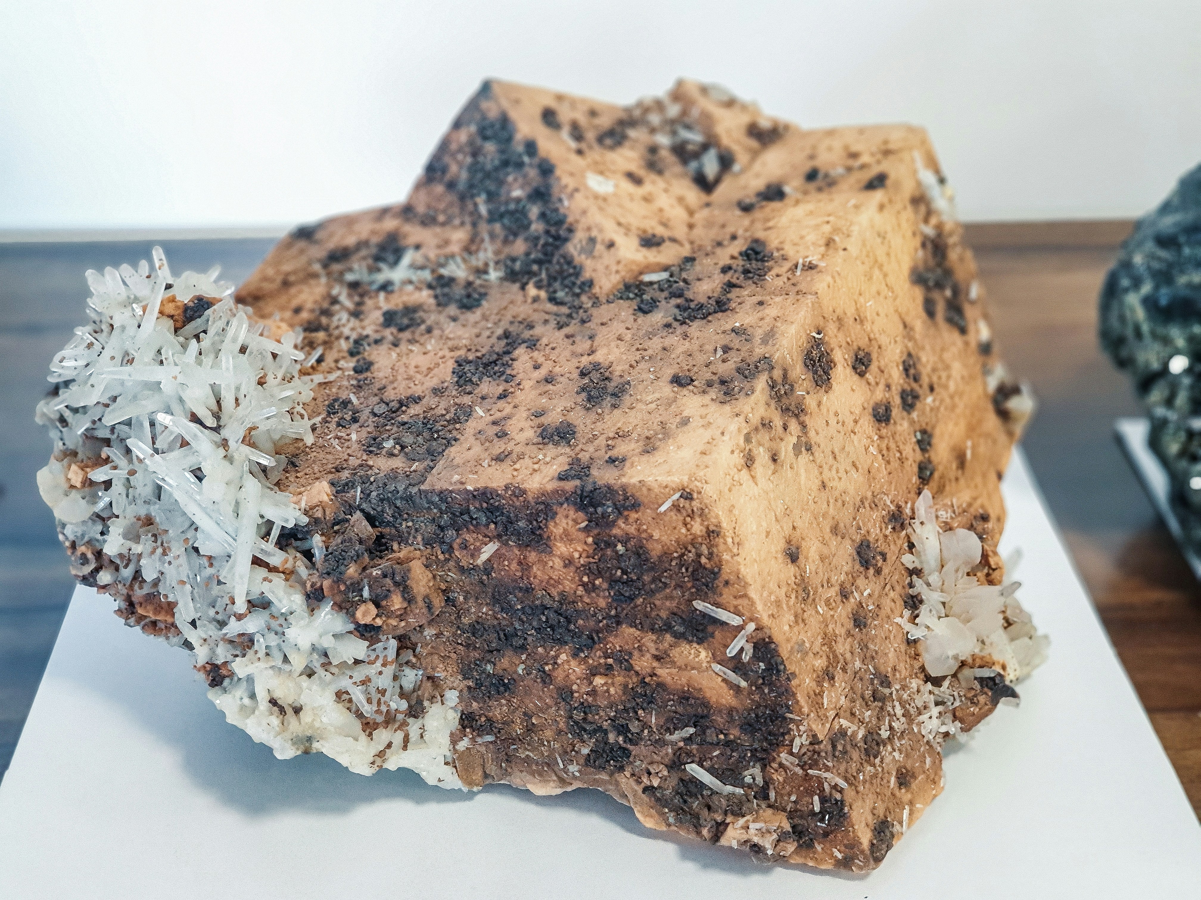
Geological formation

Expert Geological Analysis

Our team conducts comprehensive geological surveys to identify resources and assess environmental conditions.

Industry Excellence

Recognized for our technical expertise and innovative approaches to complex geological challenges.

Expert Team

Our multidisciplinary team brings decades of combined experience in geoscience research and field work.

Global Projects

Successfully completed projects across 5 continents in diverse geological environments.

Data-Driven Insights

Transforming complex geological data into clear, actionable insights for informed decision-making.

0+

Years Experience

0+

Projects Completed

0+

Continents

0%

Client Satisfaction

Our Services

We provide comprehensive geoscience solutions using cutting-edge technology and methodologies to address complex geological challenges.
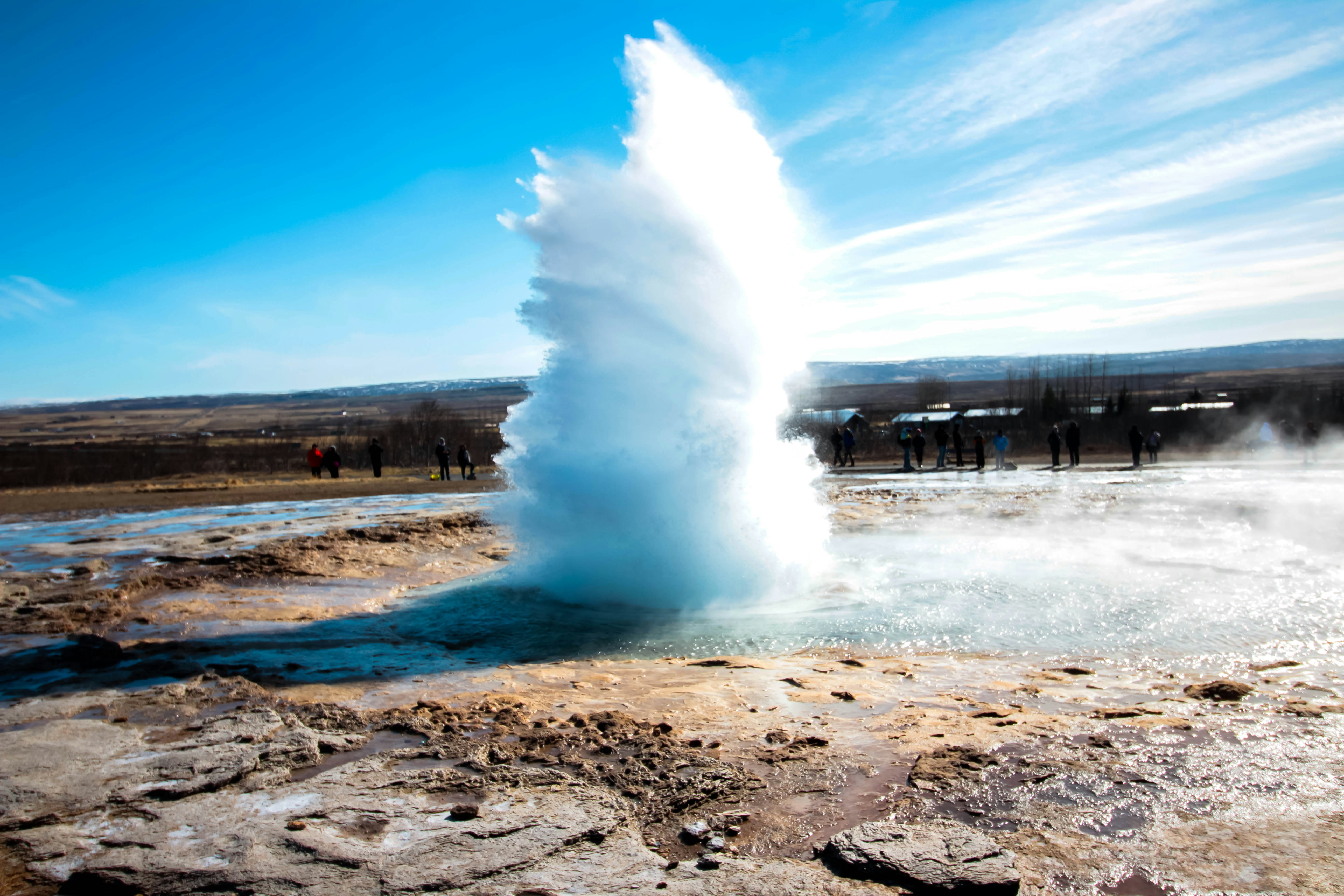
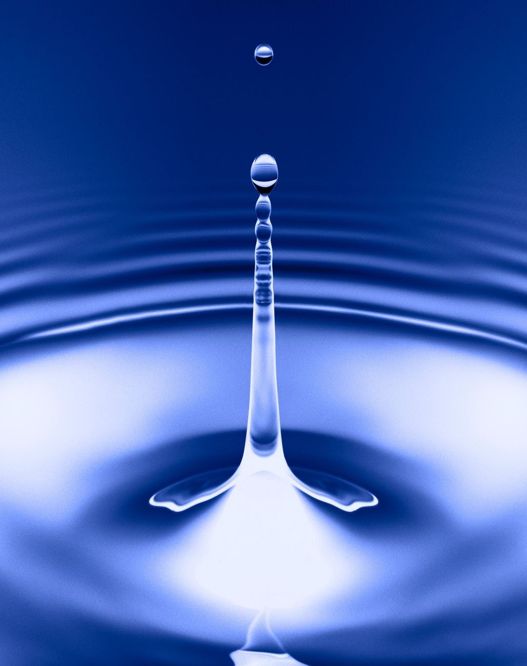
Geothermal Survey & Research
Comprehensive geothermal resource assessment using Multi Electrode Resistivity Method to identify potential geothermal reservoirs and evaluate their capacity.
Learn more
Groundwater Exploration
Locating and evaluating groundwater resources using advanced geophysical methods to determine water quality, quantity, and sustainable extraction rates.
Learn more
Mineral Exploration
Mineral Exploration
Specialized surveys for metallic and non-metallic mineral deposits using integrated geophysical and geological methods to identify resource potential.
Learn more
Gap-Structure Detection
Advanced imaging and analysis of subsurface structures to identify voids, cavities, and other geological anomalies for engineering and safety applications.
Learn more
Archaeological Research
Non-invasive geophysical surveys to locate and map buried archaeological features without disturbing the site, preserving cultural heritage.
Learn more
Environmental Assessment
Geological and geophysical surveys to assess environmental conditions, contamination risks, and support sustainable development planning.
Learn more

Data Visualization & Analysis

Our advanced data visualization techniques transform complex geological data into actionable insights, enabling informed decision-making for resource exploration and environmental assessment.
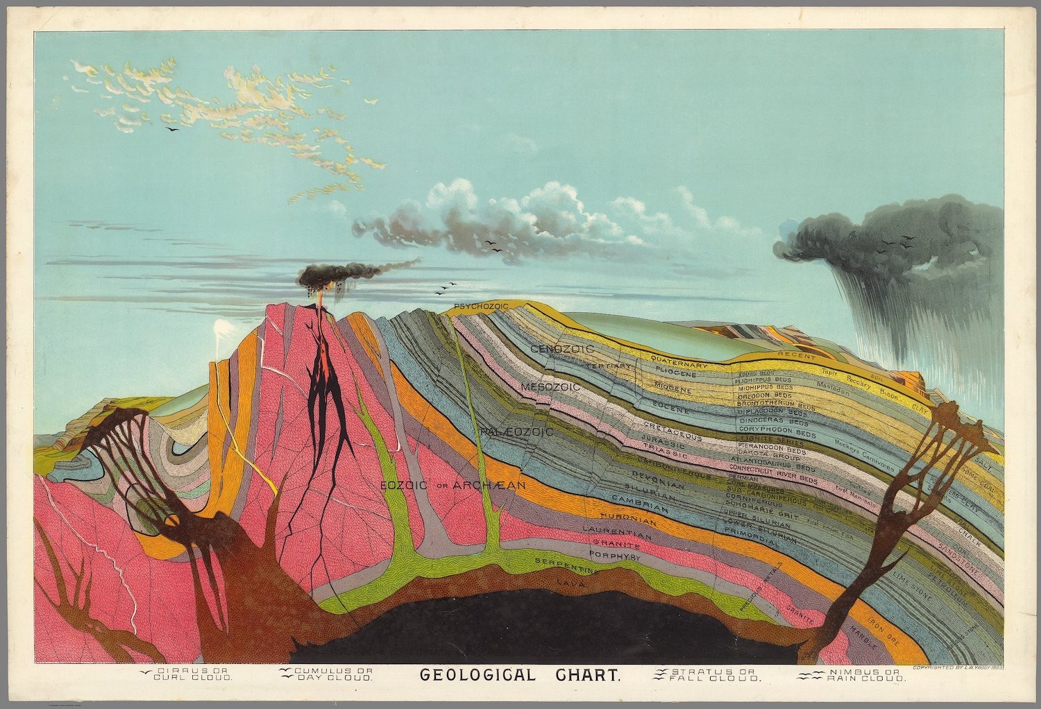
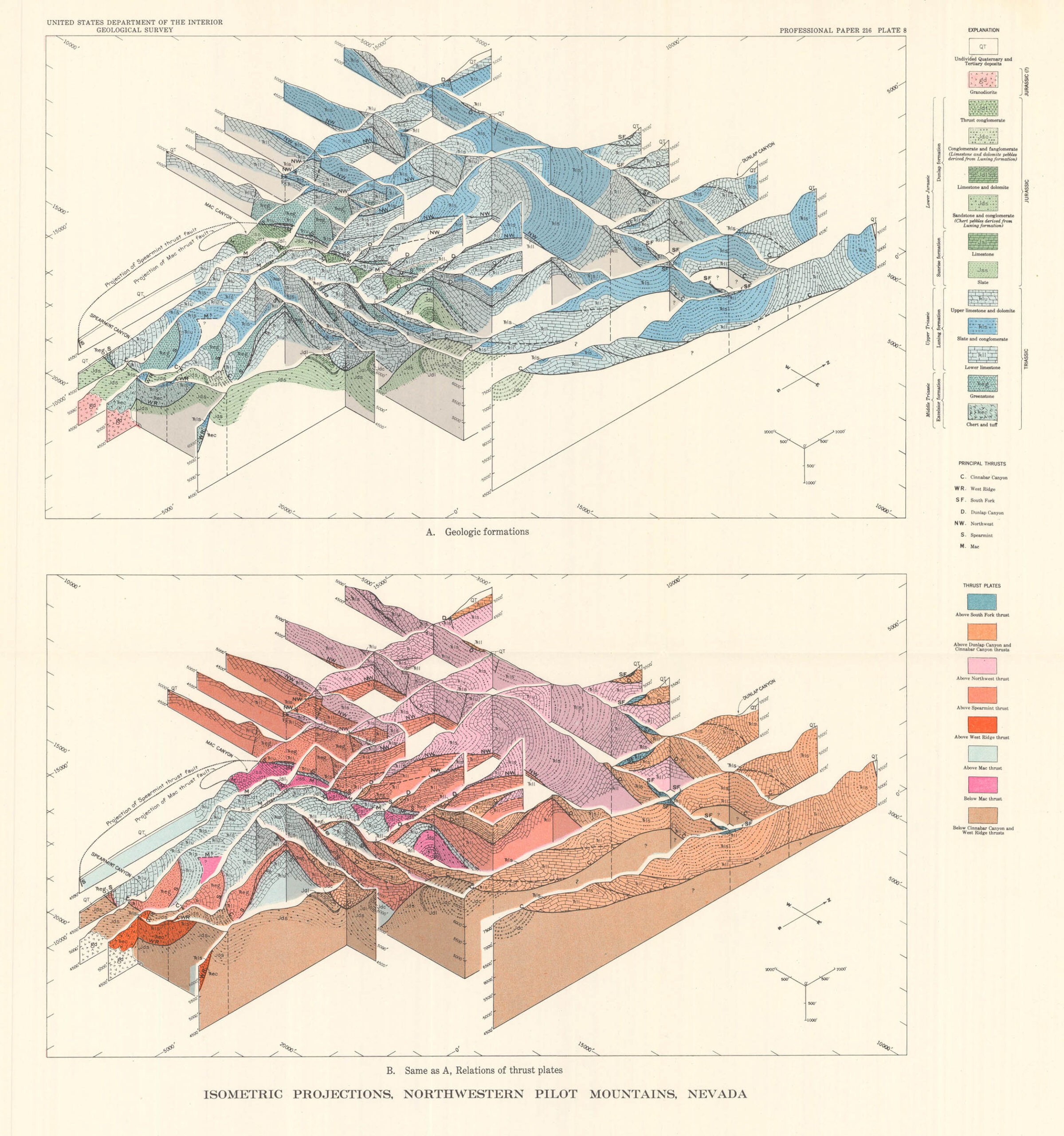
Geological Mapping

Isometric Projections, Northwestern Pilot Mountains, Nevada

Depth Analysis:Up to 2,500m
Resolution:High-precision
Application:Resource mapping

Geological Mapping

Our advanced geological mapping techniques provide comprehensive insights into subsurface structures and formations, enabling precise resource identification and risk assessment.

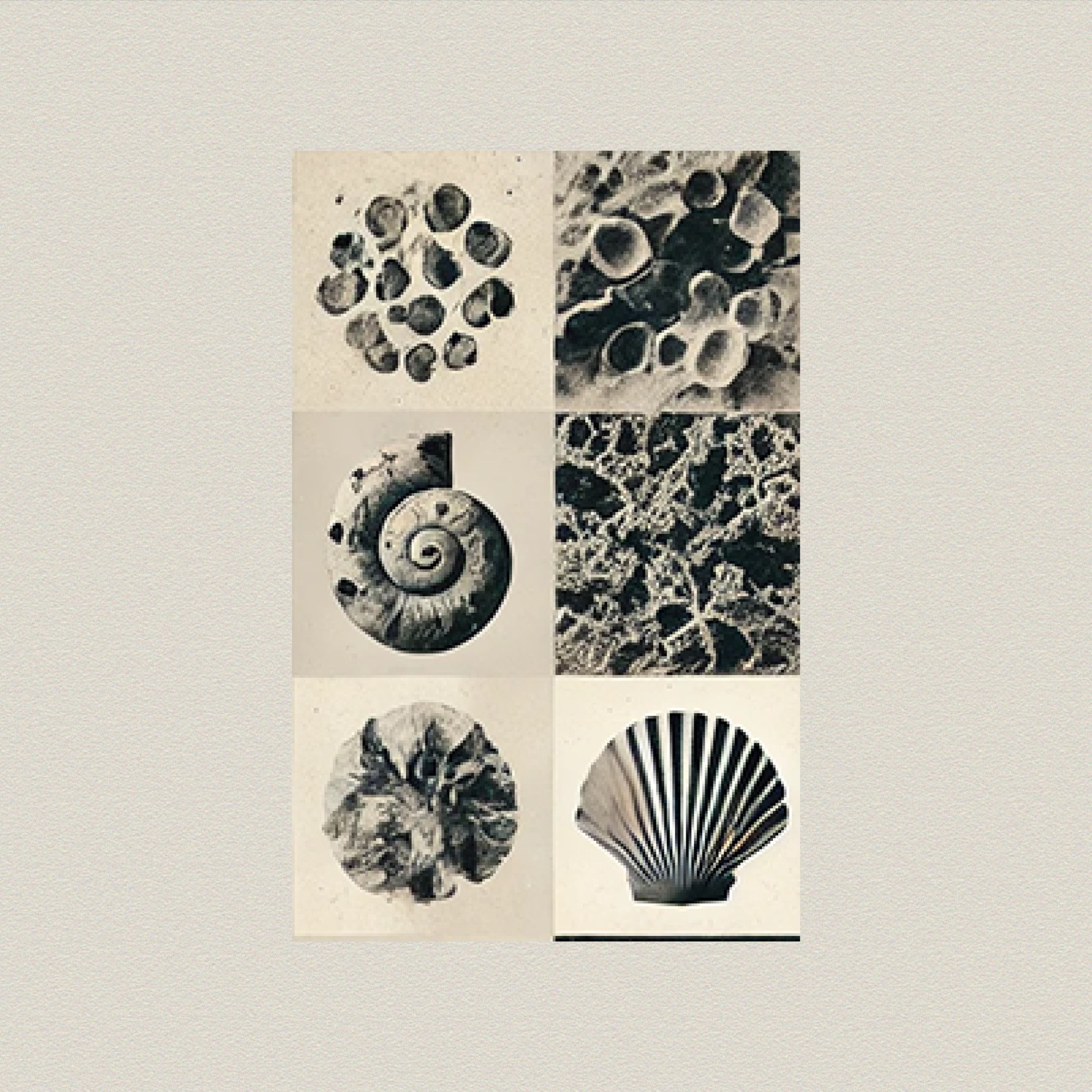
Visualization Techniques

Our advanced geological mapping techniques provide comprehensive insights into subsurface structures and formations, enabling precise resource identification and risk assessment.

Key Applications:

  • Resource exploration and evaluation
  • Structural geology analysis
  • Geohazard assessment

Our team of expert geologists and data scientists transform complex geological data into clear, actionable insights using state-of-the-art visualization techniques.

Featured Projects

Explore our recent projects showcasing our expertise in geoscience research and exploration.
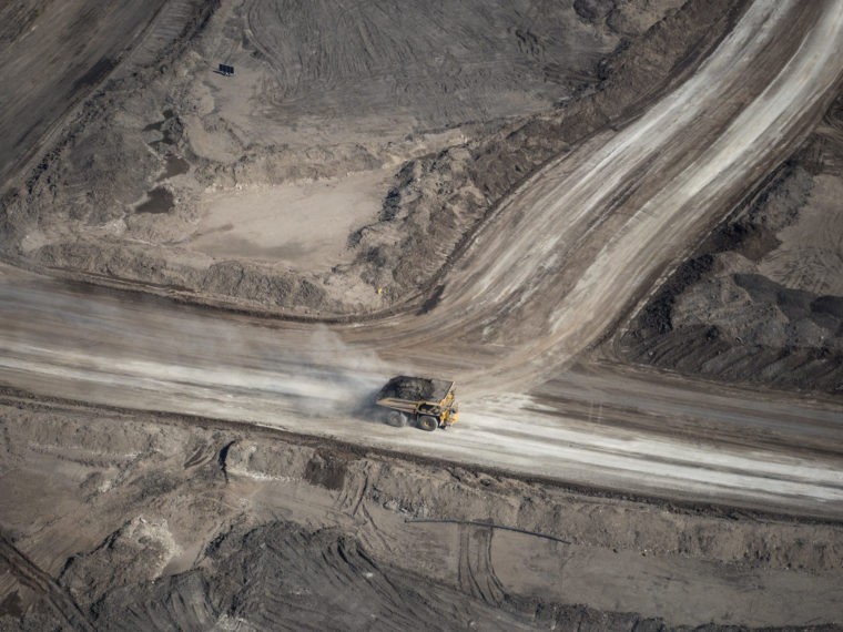
Geothermal Resource Assessment

Reykjanes Peninsula, Iceland

January 2023 - June 2023

View Full Report

Geothermal
Resistivity Survey
Energy
Geothermal Resource Assessment
Reykjanes Peninsula, Iceland

Comprehensive geothermal survey using Multi Electrode Resistivity Method to map potential geothermal reservoirs for sustainable energy development.
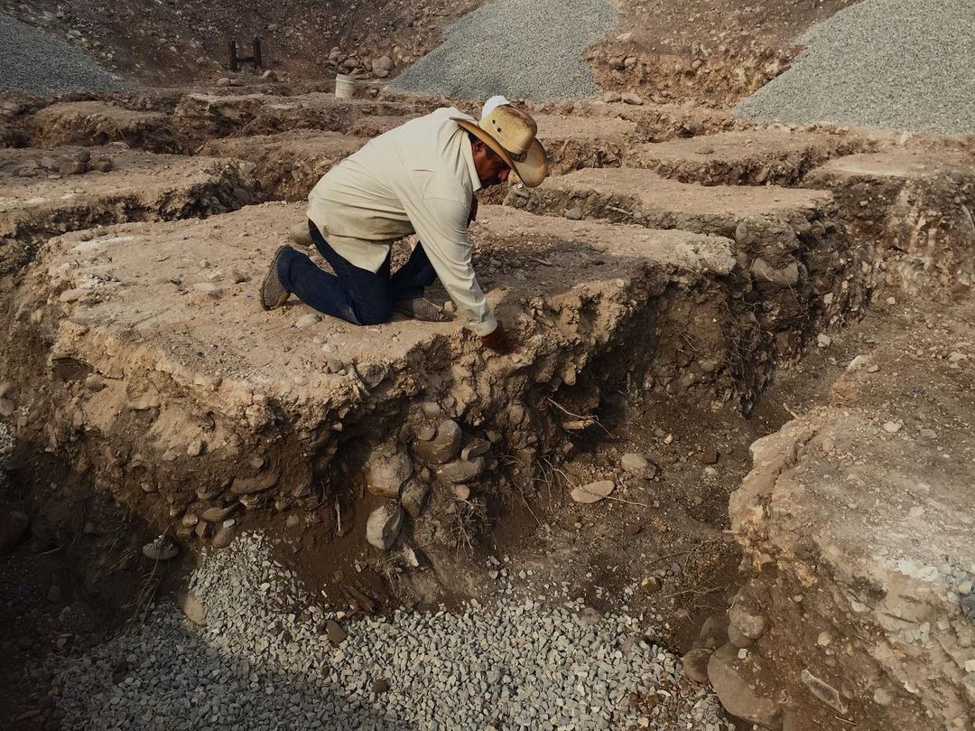
Groundwater Exploration

Sahel Region, Africa

March 2022 - November 2022

View Full Report

Groundwater
Humanitarian
Agriculture
Groundwater Exploration
Sahel Region, Africa

Identification of viable groundwater resources in arid regions to support agricultural development and provide clean drinking water to local communities.

Mineral Deposit Mapping

Andean Region, Chile

August 2022 - April 2023

View Full Report

Mineral Exploration
Mining
Resource Evaluation
Mineral Deposit Mapping
Andean Region, Chile

Detailed geological and geophysical survey to identify and map copper and gold deposits for resource evaluation and mine planning.

Archaeological Site Investigation

Yucatan Peninsula, Mexico

October 2022 - March 2023

View Full Report

Archaeology
Cultural Heritage
Non-invasive
Archaeological Site Investigation
Yucatan Peninsula, Mexico

Non-invasive geophysical survey to map buried Mayan structures and artifacts, providing valuable data for archaeological research without site disturbance.

Contact Us

Get in touch with our team of experts to discuss your geoscience needs and how we can help.

Address
123 st.
Mersin
Turkiye
Send us a message
Fill out the form below and we'll get back to you as soon as possible.